Welcome to TFB Podcast Roundup 46! Summer is just a few short weeks away and for us, southerners, that means intense heat, lots of pollen, and probably a few well-deserved weekends by the pool with a nice cold brew. If you’ve got no one else to talk to about gun stuff when you’re lounging out on the deck of your favorite pool then you might need something to listen to. There is no shortage of hot firearms topics that many of our favorite podcasting friends have to talk about and this week we’re bringing you some of those hot topics, some practical advice, and some more great stories from the folks over at the Self Defense Gun Stories Podcast – fast becoming one of my favorites to listen to for their analytical look at defensive shooting situations.
More Podcast Roundups @ TFB:
- TFB Podcast Roundup 45: More Podcasts For Your Listening Pleasure
- TFB Podcast Roundup 44: Miami Shootout and Old Guns
- TFB Podcast Roundup 43: Double Actions, Rangefinders, and AKs
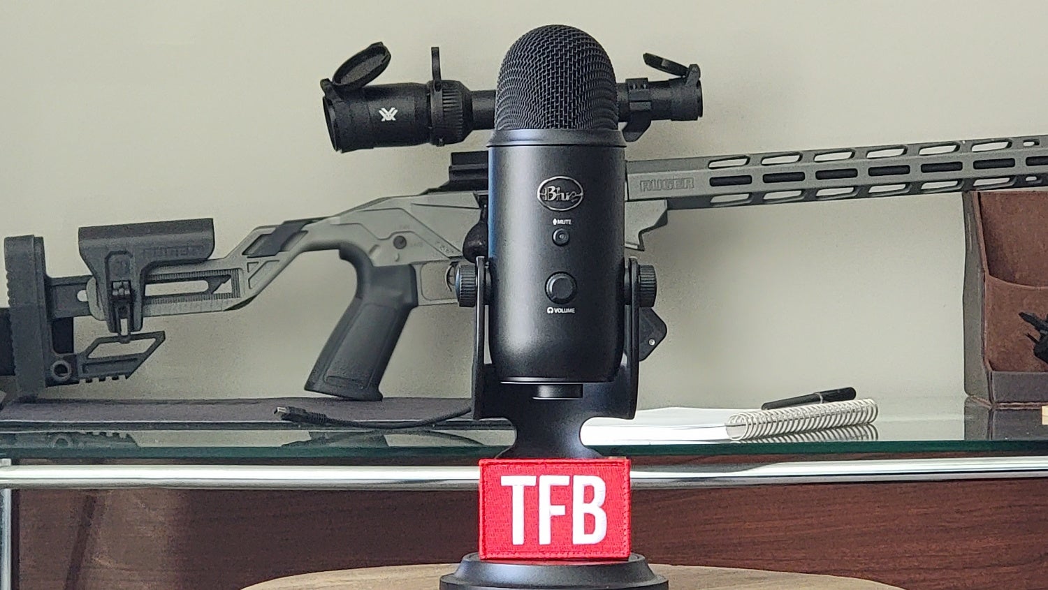
TFB Podcast Roundup 46: Onward Into the Summer Heat!
TFB Podcast Roundup 46: Onward Into the Summer Heat!
The Firearm Trainer Podcast S3E13 Range Safety Briefings
In today’s episode we talk with Klint Macro from Trigger Pressers Union.
Everyone should know what a range safety briefing is. Whether it’s large shooting events like competitions, group shooting events, or even just a trip between you and your buddies having a solid range safety briefing that covers not only basic firearms safety rules and methods but also emergency procedures and risk mitigation plans is essential to keeping everyone safe and also in the right mindset should an emergency happen. This is a good all-around episode for everyone to listen to regardless of your shooting preferences as it applies to nearly every situation involving live fire training.
TFB Podcast Roundup 46: Onward Into the Summer Heat!
Listen to The Firearm Trainer Podcast Season 3 Episode13 – Range Safety Briefings on Google Podcasts
GUNS Magazine Podcast #130 – I Got Shot!
Our host Brent T. Wheat shares the day he became an official “Gun Shot Wound” patient. Part-humor, part-cautionary, it’s a tale every shooter should hear.
This is a short but somewhat hilarious tale about how the host of the Gun’s Magazine Podcast who although being a very experienced shooter, still fell victim to an out of battery discharge and wound up being shot in the same event. This is a great story with some handy advice in it about how not only to avoid the same situation, but how to react in this type of situation should you, or someone you’re with, suffer a firearms-related injury.

TFB Podcast Roundup 46: Onward Into the Summer Heat!
Listen to the Guns Magazine Podcast #130 – I Got Shot! Over on Google Podcasts
GUN TALK NATION | Mission-Specific Design, PRS & More
Gun Talk Nation’s Ryan Gresham sits down with Daniel Defense’s Daniel McLeroy to delve into various shooting topics. In this wide-ranging discussion, Ryan and Daniel discuss the Daniel Defense Delta 5 lineup, mission-specific design, long-range gear, PRS strategy and much more.

TFB Podcast Roundup 46: Onward Into the Summer Heat!
Listen to Gun Talk Nation | Mission-Specific Design, PRS & More over on Google Podcasts
Self Defense Gun Stories Podcast Episode 277 with David Cole
Welcome to episode 277of Self-Defense Gun Stories. We’re glad you found us if you’re well trained.. and if you’re still learning about armed defense. I’m Rob Morse and we’re joined this week by firearms instructor David Cole.
TFB Podcast Roundup 46: Onward Into the Summer Heat!
Firearms Nation Podcast 191: AJ Zito – Practical Performance
AJ Zito is a gunsmith and practical shooter. He designs and makes custom 1911s and also competes in action shooting sports such as USPSA and IDPA. He is one of the few people I know that has actually gone to a three year gunsmithing school (something that sounds incredibly cool!) AJ currently is one of the assistant instructors with Scott “Jedi” Jedlinski from Modern Samurai Project and travels to many of the classes with him around the county.
I had a really nice talk with AJ and look forward to hearing more from him as he starts up his podcast again.

TFB Podcast Roundup 46: Onward Into the Summer Heat!
Listen to the Firearms Nation Podcast 191: AJ Zito – Practical Performance over on YouTube
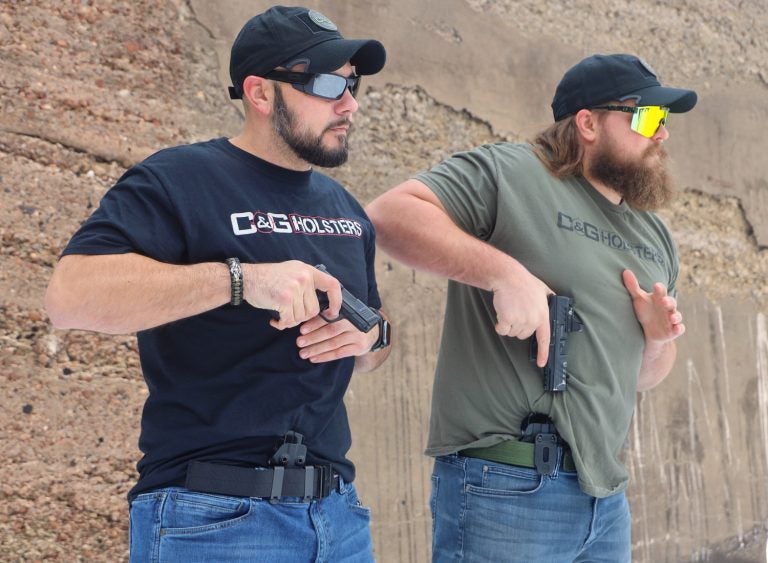
TFB B-Side Podcast: A Drink with the C&G Holsters Crew
C&G Holsters is a family run business that was started in 2008 by Christopher J. Burns, its founder and President. Frustrated by his inability to find a quality Kydex holster, Chris decided to design and construct a Kydex holster that would be functional, practical, and reliable. Initially, Chris only made a few holsters in his garage for himself and his close friends. However, the reputation of Chris’ garage made holsters quickly spread through the local law enforcement and shooting communities and the demand for his holsters steadily increased. This was the birth of C&G Holsters.
Today on the TFB B-Side podcast we have on several members of the C&G Holsters crew on to talk about their product, their histories and how they came to work for C&G holsters. Please welcome the C&G Holsters Crew to the show!
Listen to the TFB B-Side Podcast: A Drink with the C&G Holsters Crew over on Spotify
That’s all we’ve got for this week’s roundup of podcasts! Be sure to let us know if you enjoyed any of these podcasts or if there is a gun-related podcast you’re currently listening to that other listeners might enjoy! Thanks for listening and be sure to check back next week for more firearms podcast episodes!
